1
Collect
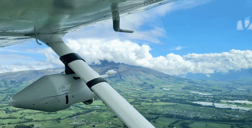
Patented, award-winning aerial photography system
Two cameras on one axis uniquely sweep
World-class sensors provide maximum resolution for large areas
Captures every datapoint from dozens of different angles, all in a single pass
Convenient, lightweight (max. 6 kg) unit, mountable on any aircraft
Up to 5X faster and 90% cheaper than comparable systems
2
Process
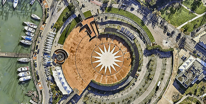
- Tens of thousand raw images pieced into one
- Eliminates weather conditions effects
- Automated contrast adjustments and color grading
- Fast processing of large-scale images
- AI-driven automated image sharpening

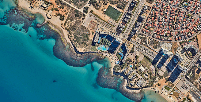

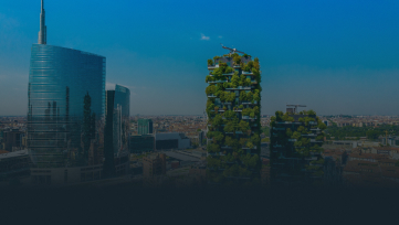

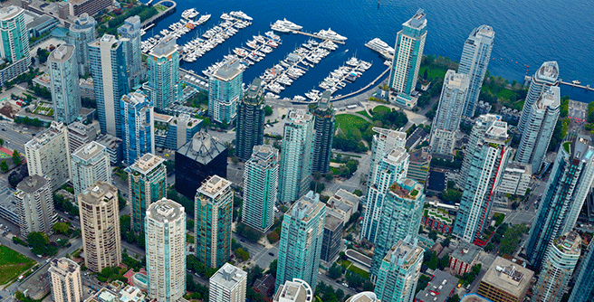
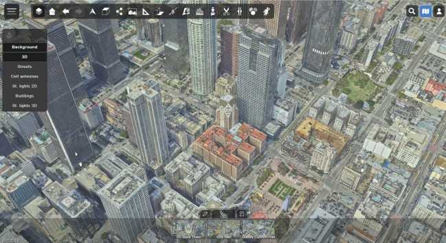
- Multi-tiered photogrammetric solution generates accurate city-wide 3D models
- Aerial triangulation, surface reconstruction, and image-based texturing ensure maximum model detail.
- SLAM algorithms convert images into billions of 3D coordinates


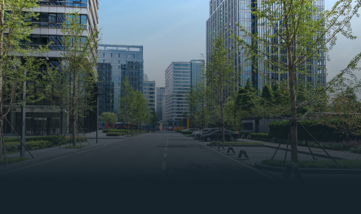


- Saves the 3D model in a space-grade, optimized digital format
- Supports FBX, OBJ and STL 3D file formats
- Quick cloud-streaming in small packets, perfect for web apps
- Streams to platforms like Unreal Engine, Unity, Omniverse, etc.


- Provides data extra streaming options from all sources
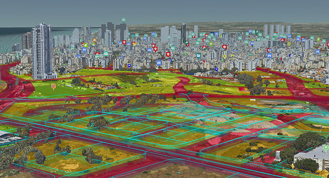
- Imports urban layers, e.g., bus stations, and cellular networks
- Provides financial information, e.g., real-estate transaction data
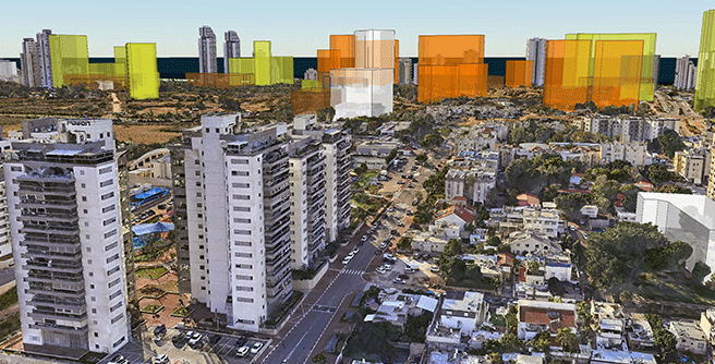
- Displays planned land use and approved building plans
- AI tags spatial elements like buildings and roads (coming soon)



3
Serve
Your own private workspace on the cloud
Easy to learn and operate
Secure private workspace
Optimized for performance and quality
API’s and integration
